
Turkey is large and varied enough that it helps to think of it in parts. Geographers traditionally split the country into seven regions, each defined by its landscape and climate rather than by any political boundary. Knowing them makes it far easier to picture where the main sights sit and how a trip fits together.
Destinations we cover
The Marmara region
In the north-west, wrapped around the Sea of Marmara and the straits, this is the most densely populated corner of the country. It holds Istanbul, the Bosphorus and the Dardanelles, and it is the gateway between Europe and Asia. Compact, green and mild, it is where most visits begin.
The Aegean region
Running down the west coast facing Greece, the Aegean is a region of olive groves, whitewashed towns and some of the finest classical ruins in the world. This is the home of Ephesus, the resort town of Bodrum, and the city of Izmir, Turkey’s third-largest. Summers are hot and dry, winters mild — classic Mediterranean weather.
The Mediterranean region
Along the south coast lies the belt often called the Turquoise Coast, named for the colour of the water. Antalya is its capital, backed by the Taurus Mountains that rise almost straight from the shore. Beaches, ancient harbours and long warm summers make this the country’s main resort region.
Central Anatolia
At the heart of the country is the high inland plateau — dry, open and sitting well above sea level. This is where you find Ankara, the national capital, and Cappadocia, with its volcanic rock formations, cave churches and hot-air balloons. Winters here are cold and summers hot, a true continental climate a world away from the coast.
The Black Sea region
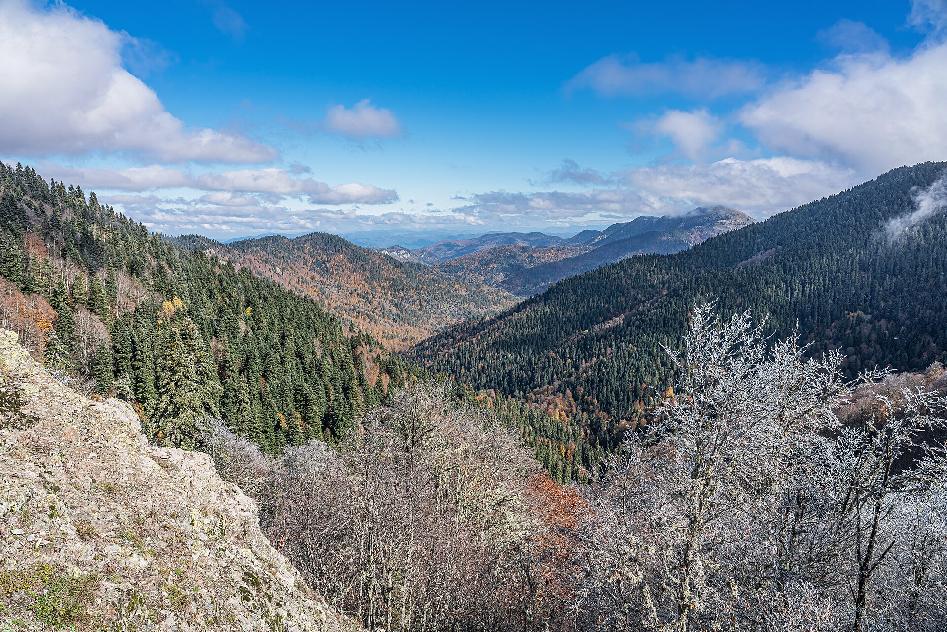
Along the northern coast, the Black Sea region is the green, wet exception to the rest of the country. Moist air off the sea keeps the steep hills lush and forested, and the mild, rainy climate suits the tea and hazelnut plantations the area is famous for. It is quieter and less visited, with a strong regional culture of its own.
Eastern Anatolia
The east is the highest and most rugged region, a land of mountains, high lakes and harsh winters. Mount Ararat, the country’s tallest peak at over 5,000 metres, stands here near the borders with Armenia and Iran, and snow lies deep for months. It is remote, dramatic and demanding to travel, rewarding for those who make the effort.
South-eastern Anatolia
Bordering Syria and Iraq, the south-east is warmer, drier and closer in feel to the Middle East. Ancient cities such as Şanlıurfa and the honey-coloured hilltop town of Mardin sit here, along with some of the oldest human sites on earth. The food is renowned, and the region has a distinct cultural identity.
The mountains that shape it all
Two great ranges frame the interior. The Taurus Mountains run along the south, separating the Mediterranean coast from the plateau, while the Pontic Mountains line the Black Sea coast in the north. Between them lies the raised Anatolian plateau, which explains why so much of central Turkey is high, dry and continental while the coasts stay warm and green.
Putting it together
For most travellers the practical takeaway is this: the coasts are for beaches and ancient cities, Central Anatolia is for landscapes and history inland, and the east is for adventurous, off-the-beaten-track journeys. A first visit usually combines the Marmara region with a stretch of the Aegean or Mediterranean and a few days in Cappadocia.
To see where the main tourist areas sit and start shaping an itinerary, browse our full list of destinations, each with tours, attractions and places to stay.