
Turkey sits at the meeting point of two continents, and that single fact shapes almost everything about the country: its history, its food, its politics and the feel of its greatest city. It is a transcontinental nation, with land in both south-east Europe and West Asia, and it has spent thousands of years as the bridge between them. If you want the short answer, Turkey lies between roughly 36° and 42° north and 26° and 45° east, bordered by eight countries and washed by four seas.
Is Turkey in Europe or Asia?
The honest answer is both, and that is the point. Turkey is one of only a handful of transcontinental countries on Earth, with territory on two continents at once.
The larger part, around 97 per cent of the land, is Anatolia, also called Asia Minor: a broad peninsula in West Asia reaching east towards the Caucasus and the Middle East. The smaller part, roughly 3 per cent, is Eastern Thrace, tucked into the south-east corner of the Balkans in Europe. It includes the western districts of Istanbul.
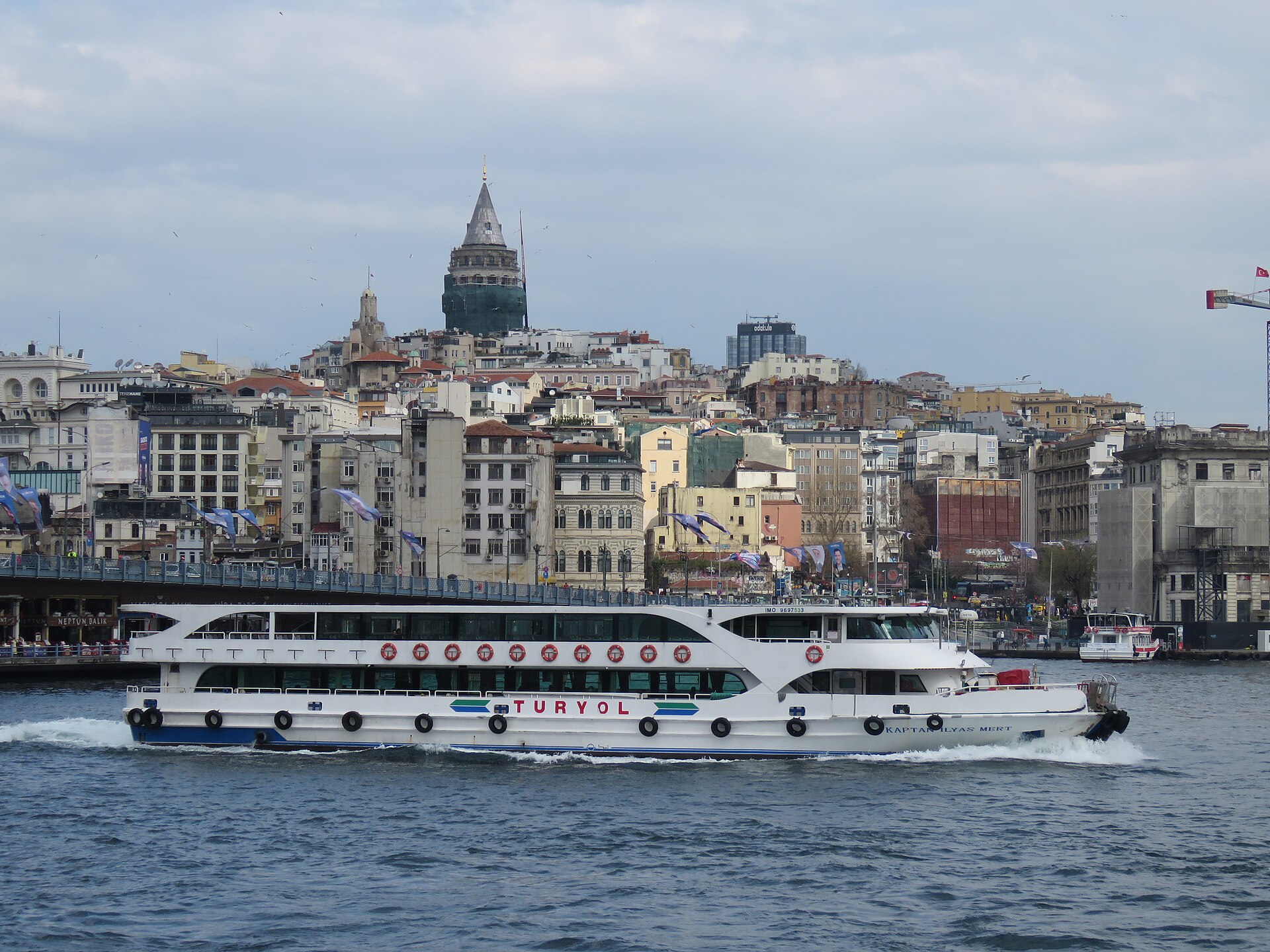
Dividing the two is one of the most famous stretches of water anywhere. The Bosphorus, a narrow strait running straight through the middle of Istanbul, links with the Sea of Marmara and the Dardanelles to the south-west to form the boundary between the continents. Stand on a ferry crossing the Bosphorus and you can leave Europe and arrive in Asia in about twenty minutes. Istanbul is the only major city in the world built across two continents, and commuters cross between them every morning.
Turkey’s coordinates and place on the globe
In precise terms, Turkey spans latitudes 36° to 42° North and longitudes 26° to 45° East. Its geographic centre falls near 39° N, 35° E, out on the high Anatolian plateau. That places the whole country firmly in the Northern and Eastern hemispheres, on a similar latitude to Spain, southern Italy and, further afield, the middle of the United States.
The country keeps a single time zone, UTC+3, known locally as Turkey Time. Since 2016 it has not changed the clocks for daylight saving, so it stays on the same offset all year — two hours ahead of London in winter and one hour ahead in summer.
The countries that border Turkey
Turkey shares land borders with eight countries and sits at the seam of four different worlds: the Balkans, the Caucasus, the Middle East and the Mediterranean.
Land borders 8 countries
Coastlines 4 seas
- Black SeaNorth coast · Green, wet and forested
- Aegean SeaWest coast · Ancient cities and islands
- MediterraneanSouth coast · The warm Turquoise Coast
- Sea of MarmaraInland · Links the Black Sea to the Aegean
To the west, in Europe, Turkey borders Greece and Bulgaria. Swing round to the north-east and it meets Georgia, Armenia and the Azerbaijani exclave of Nakhchivan, deep in the Caucasus. Directly east lies Iran, and along the south-east run the borders with Iraq and Syria. Few countries touch so many distinct regions at once, and that has made Turkey a meeting place of peoples, languages and faiths for as long as there have been borders to cross.
The seas around Turkey
Water wraps Turkey on three sides, and each coast has its own character. The Black Sea runs along the north — wetter, greener and cooler, a coastline of forested hills, tea plantations and fishing towns. The Aegean Sea forms the west coast, facing Greece across a scatter of islands; this is the land of classical ruins and easy-going resorts, home to Ephesus and Bodrum. The Mediterranean stretches along the warm, bright south, where the beaches of Antalya draw millions every year. Inland, the Sea of Marmara connects the Black Sea to the Aegean and completes the ring of water that nearly turns the country into a peninsula. Only the far eastern interior is truly landlocked, rising into high mountains and open plateau.
How big is Turkey?
Turkey is larger than people expect. It covers about 783,562 square kilometres (302,535 square miles), which makes it the 37th-largest country in the world and bigger than any nation lying entirely within Europe. Put another way, it is roughly the size of France and the United Kingdom combined, or a little larger than the American state of Texas.
Around 85 million people live there. The capital is Ankara, a planned administrative city on the central plateau, while Istanbul is by far the largest city and the country’s cultural and economic engine, with a population greater than many European nations.
That size brings real variety. A single trip can carry you from the mosques and markets of Istanbul to the volcanic valleys of Cappadocia in Central Anatolia, then down to the warm southern coast, without ever leaving the country. Distances are genuinely long, though, so most first visits concentrate on one or two regions rather than trying to see it all.
Is Turkey in the Middle East?
This is one of the most common questions about the country, and the answer is a careful “partly”. Turkey is not a purely Middle Eastern nation the way Iraq or Saudi Arabia is. But its south-eastern provinces border Iraq and Syria, share landscapes and cuisine with the region, and have deep historical ties to it.
Geographers tend to avoid a single label and instead describe Turkey as a transcontinental bridge — European in its north-west, Asian across Anatolia, and Middle Eastern along its southern edge. Turkey plays in European football competitions and the Eurovision Song Contest, yet it also sits within the wider Middle Eastern and Islamic world. Both things are true at once, which is exactly what makes the country distinctive.
Why Turkey’s location has always mattered
Because Turkey sits where Europe, Asia and the Middle East converge, it has been a prize and a crossroads for millennia. Trade routes between East and West funnelled through Anatolia; the land and sea roads that later became the Silk Road passed this way. Whoever controlled these straits and passes controlled the flow of goods, armies and ideas between continents.
The result is layer upon layer of history. Hittites, Trojans, Greeks, Romans, Byzantines, Seljuks and Ottomans all built here, and the traces of each are still standing, from the ruins of Ephesus to the great domes of Istanbul. That same position gives modern Turkey its unmistakable blend — European in parts, Asian and Middle Eastern in others, and wholly itself.
Getting to Turkey
For a traveller, the practical upshot of all this geography is convenience. Turkey is a short flight from most of Europe, typically four to five hours, and around eight to twelve hours from North America. Its position between continents is one reason Istanbul Airport (IST) has grown into one of the busiest aviation hubs on the planet, with direct connections to more countries than almost anywhere else.
The main international gateways are Istanbul (IST) and Sabiha Gökçen (SAW) in the north-west, Antalya (AYT) for the Mediterranean coast, and İzmir (ADB) for the Aegean. For visas, routes and the best time to fly, see our guide to getting to Turkey.
How Turkey is laid out
Once you have placed Turkey on the map, it helps to see how the country divides internally. Geographers split it into seven regions, each defined by its landscape and climate, from the straits of Marmara to the mountains of the east. The map below highlights the areas we cover in depth — hover a province for its name, or tap a highlighted one to jump straight to that destination.
Destinations we cover
For a fuller tour of the seven regions and how they fit together, read our map and overview of Turkey, or browse every place we cover on the destinations page.